Scouting Report: Montana Mountain Road (Well's #48)
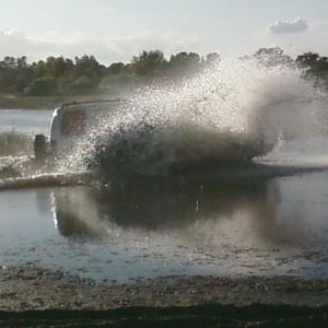
We had a few hours to kill this morning, so Beth I thought it best to use the TJ for a scouting mission to check out the trail conditions before leading everyone into the wilderness in a couple of weeks, especially since we haven't been out there in a few years.
The trailhead is about 30 minutes from our "Hacienda" and the exit point is another 10 minutes down the road from the trail head, so we decided to check them both.
===============
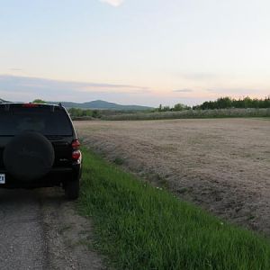
The GOOD NEWS... The desert is nice and green from the recent Monsoon rains. Going in the way described in the Wells book is not a problem. We don't forsee any problems getting to the top of the mountain and coming back down the other side on the switchbacks.
===============
Note... About five miles from the END of the trail, is the toughest part of the 30 mile loop that NEEDED to be checked out before committing to this trip. The washes and arroyo's in this area show signs of recent runoffs. That in itself would not be an issue IF we did this trail in reverse, then we'd be through that area if it started to rain later in the day.
===============
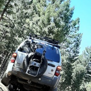
The BAD NEWS... The really bad part of this trail, is about .4 mile in length, broken down into three shorter sections which are close together. The trail runs in a very rocky creek bed, with some pretty large rocks. I don't know if it's because of the recent rains or what, BUT it is definetly worse than the last time we ran it.
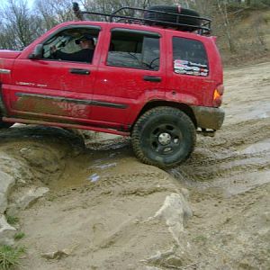
Take a look at the pictures below and keep in mind they do not give a true perspective of what the trail is really like. In our opinion, a stock KJ, even with full skids and good A/T tires, would have one heck of a time getting through this short section of the trail. The TJ made it through with some carefull driving and minor scraping, but it sits up higher than the KJ. It also rides on better tires... 31x10.5 BFG M/T tires.
===============
Conclusion... We
DO NOT RECOMMEND this trail for a KJ at this time. Those without skids would surely break something as would those with skids, if they were not super careful.
===============
Alternate Plan... The area is pretty because of the recent rains. It is a nice drive to the top of Montana Mountain, with a few fun spots along the way. The ride down the other side, on the switchbacks, is scenic and fun. There is a short side trail that leads down to an old stone cabin we can explore. We all would continue on a few miles to the VERY ROCKY part of the trail. At that point, those who want to run it can do so as the others watch you fade off into the sunset. Beth and I will turn around there, go back up the switchbacks and out the way we came in. Total off road travel turning around is 55 miles, 30 for those that want to do the tough part of the trail.
We plan on having dinner in Superior at the old Mexican Restaurant at the end of the run.
OR... Come up with another trail entirely.
What does everyone else want to do?
The roughest part of the trail starts here...
You must be registered for see images
You must be registered for see images
You must be registered for see images
It starts to get bad from this point on for about .4 of a mile...
You must be registered for see images
You must be registered for see images
You must be registered for see images
And it only get worse...
You must be registered for see images
You must be registered for see images
You must be registered for see images
You must be registered for see images
Going out of the wash then back in the way we came...
You must be registered for see images
You must be registered for see images
You must be registered for see images
You must be registered for see images
You must be registered for see images
You must be registered for see images
We should have gotten out here to give some perspective of the trail...
You must be registered for see images
You must be registered for see images
You must be registered for see images


